Full Data Collection Capabilities, Even Greater Analytics
Whether the precision and flexibility of Connected Car data or the great sample size of sensor-based data collection, we got all your OD requirements covered.
Our Solution
Connected Car
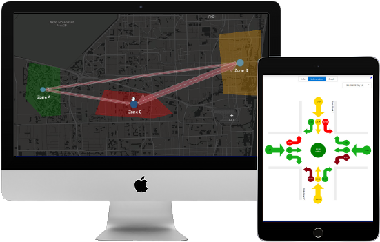
- Leveraging connected car data, “click” and “draw”, upload shape files, or use zip codes to create zones
- Engine on/off status to identify the trip purpose
Bluetooth Sensors
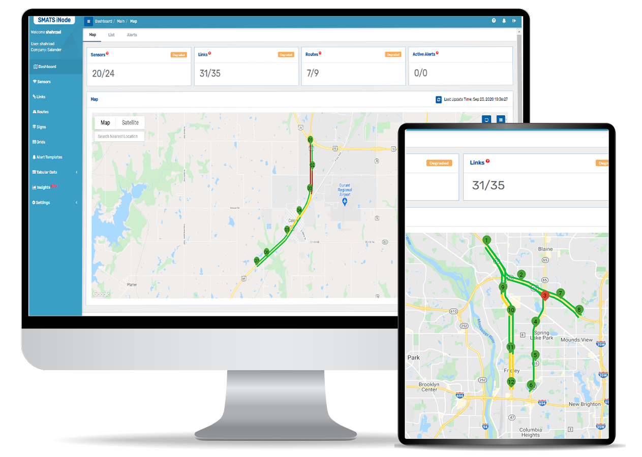
- Install WiFi and Bluetooth sensors to identify individual trip patterns in defined areas where connected car data is unavailable
Raw Trip List
- Individual vehicle trip info including wait time in each zone, travel time between zones and more
Custom Visualization Outputs
- Origin-Destination Count and Travel time Matrix
- Sankey and Chord Diagram
- Route choice and top route maps
Our Difference
Full Data Collection Capabilities
- When connected car data is unavailable in your area our TrafficXHub Bluetooth sensors are available for you to own or rent to conduct OD and travel time studies.
Highest Accuracy and Detail
- The Connected Car data is collected per car, not based on location(s) of each passenger in the car. Therefore, there is no mistaking passengers for vehicles (No “double counting”)

Unparalleled Visibility
- Visibility into complete travel routes even for small areas thanks to the connected high frequency location ping intervals

One Price. Unlimited Projects
- Work on as many projects as you need to satisfy your project goals
Customer Success Stories
City of Franklin
See how Franklin used connected car data to assess the impact of a bypass constructed to divert cut-through commuter traffic and reduce congestion in their historic downtown.
How Much Data is Enough?
Get the minimum sample size you need for estimating traffic metrics.
Book a Free Demo
iNode™ + Sensors
